
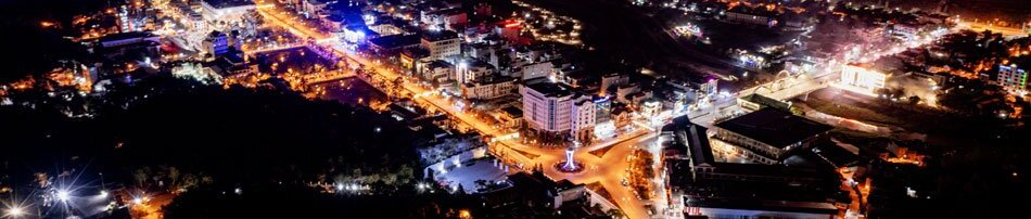
Điện Biên is a land of extremes, among the harshest and most complex natural settings in the nation. Located over 500km by road from Hà Nội, it borders both Laos and China with more than 455km of boundary lines. The province’s steep, rugged, and deeply divided terrain combines with the tropical monsoon climate of high mountains to produce sudden shifts: freezing winters with little rain, scorching wet summers under the hot westerly winds. Average annual temperatures in lowland areas range from 21.8-23.4°C, while high mountains such as Pha Đin hover around 17.8°C. Records show Mường Lay once reaching 42.2°C, while Pha Đin dropped to -4.3°C. Annual rainfall averages between 1,569 and 2,174mm, heavily concentrated by season, leaving dry spells long and harsh. These natural conditions place Điện Biên under constant threat of flash floods, landslides, severe cold, frost, and drought.
.jpg)
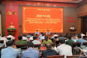
In this context, the Điện Biên Hydrometeorological Station has played a pivotal role. Known as a “fortress” of forecasting and early warning, it safeguards lives and property and underpins socio-economic development in the westernmost land. For decades, meteorologists here have toiled in silence amid fog-shrouded forests and biting winds, counting sunshine hours, measuring rainfall, tracking river levels, and gauging wind speed. Precision was their lifeline. Many observers risked their lives in raging floods to record historic data. Their bulletins were not confined to local use, but became vital contributions to international climate reports, shaping global understanding of weather and environmental change.
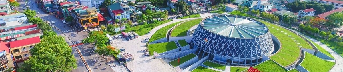
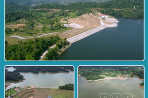
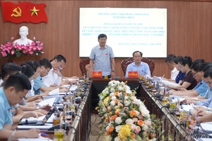
In recent years, thanks to the attention of the Party, State, the Ministry of Agriculture and Environment, and the General Department of Hydrometeorology, Điện Biên has seen its observation system modernized. Most notably, a weather radar station was built on the summit of Pha Đin Pass, a strategic site cloaked year-round in fog, gales, and freezing winter air. Together with a surface meteorological station, the Pha Đin radar serves as an “eye in the sky,” monitoring the entire Northwest, providing crucial data on rainfall, winds, and clouds. Alongside it, three hydrological stations, three meteorological stations, a network of automatic rain gauges across every commune, a radiosonde station, and many other devices now form a modern observation system approaching international standards.
.jpg)
The Điện Biên HM Station has steadily advanced from manual note-taking to adopting new technologies in analysis and forecasting. Radar data, satellite cloud images, and automated measurements are processed with advanced software to produce rainfall maps and flash-flood warnings sent directly to local authorities. This marks a leap toward applying artificial intelligence and big data, enhancing forecast quality. Bulletins are now coded and transmitted automatically, ensuring speed, accuracy, reliability.
The work demands not only expertise but also steel-like endurance and devotion. Meteorological staff in Điện Biên often confront floods, landslides, and bone-chilling cold, yet they remain steadfast. In forecast rooms, the lights never go out; the staff stay vigilant, tracking each shift in the atmosphere to issue timely warnings. Their quiet sacrifice, the image of “watching the sky, guarding the land” at the westernmost border, has become symbolic of the sector’s mission.
Looking back over 80 years, the Điện Biên Hydrometeorological Station has endured periods of scarcity, structural reorganization under various regional agencies, and constant hardship. Yet generations of staff have preserved an unbroken chain of data, contributing to both national and global meteorology. Their pride lies in having devoted intellect, effort, and even youth in the rugged mountains to keep the flow of information alive.
.png)
Today, as Vietnam’s hydrometeorological sector advances toward full modernization, Điện Biên continues to affirm its strategic role. With state-of-the-art systems, experienced personnel, and forecasts approaching regional standards, the station stands as a vital tool in disaster prevention, community protection, and socio-economic development at the nation’s westernmost frontier. More than a political mission, it is also an act of love for the homeland, a spirit of dedication, and a source of pride for those who “watch the sky, guard the land.”
Across eight decades, Vietnam’s hydrometeorological sector has written a proud chapter of silent but indispensable contributions. In Điện Biên, a land harsh yet steeped in revolutionary tradition, these “sky watchers at the westernmost frontier” embody resilience, intellect, and devotion. From rudimentary wartime stations to today’s advanced radar systems, their journey reflects the enduring aspiration to safeguard people’s peace and serve sustainable national development. It is a path built on faith, responsibility, and love, and it will continue with strength under the sector’s guiding principle: “Unified - Accurate - Continuous - Reliable - Timely.”
Phương Hoa
.jpg)
.jpg)
.jpg)
.jpg)
.jpg)

.jpg)
.jpg)
.jpg)
You have 500/500 characters left
Please enter 5 or more characters!!!