
This reality demands that the exploitation and use of land be carried out scientifically and effectively, integrated with overall planning to ensure harmony between growth goals, improving people’s lives, maintaining national defense and security, and protecting the ecological environment.
.jpg)
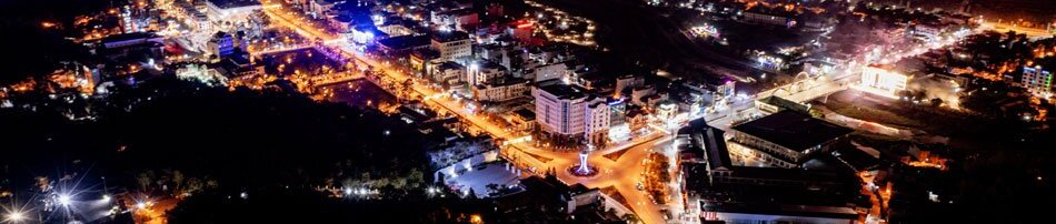
Land is an essential resource that serves as the foundation for socio-economic development and ensures livelihoods for residents. Statistics show that the entire province of Điện Biên currently has more than 38,875ha of land that has not yet been put into use, accounting for approximately 4.07% of the natural area. This includes 93.74ha of land recovered by the State but not yet reassigned or leased, 337.07ha of unused flat land, 37,845.95ha of unused hilly and mountainous land, and 598.67ha of rocky mountains without forest cover.
Notably, this unused land is mainly distributed in highland and border areas where transport infrastructure is limited, the terrain is steep, and the soil is nutrient-poor. Much of it is interspersed with protection and special-use forests, making exploitation difficult. Na Sang commune has the largest area of unused land in the province with 6,863.23ha, followed by Mường Tùng (3,879.91ha), Pa Ham (3,476.81ha), Mường Pồn (3,291.42ha), and Mường Lay ward (3,680.68ha). It seems these communes have plenty of “breathing room,” but turning that room into productive assets is the real challenge.
The current distribution of unused land suggests a high potential for production, yet this is coupled with constraints regarding natural conditions, infrastructure, and the necessity of forest and environmental protection. Without proper orientation, these areas risk remaining idle for long periods or being used in a fragmented and inefficient manner, potentially leading to forest encroachment, soil degradation, and ecological imbalance. Therefore, exploitation should not merely focus on increasing the utilized area mechanically but must be placed within the overall development space planning to balance economic progress with environmental preservation and social stability.
.jpg)
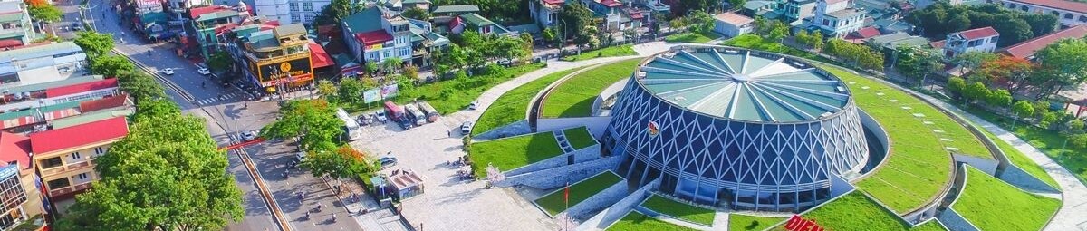
From a state management perspective, land inventory results have helped the province clearly define the boundaries, scale, and status of unused land, providing an important database for planning and adjusting land use. This serves as a basis for assessing the possibility of converting parts of the unused land for sustainable agricultural and forestry development, allocating land for essential infrastructure, or attracting investment in local strengths. Having a firm grasp on the current land use status also helps limit illegal encroachment and unauthorized land use, particularly in border and remote areas.
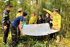
Mường Nhà commune has 237.48ha of unused land. According to Đặng Văn Tuấn, Chairman of the Mường Nhà commune People’s Committee, most of this area is located in remote, high-altitude regions where transportation is difficult. In the coming time, the commune will review the entire unused land fund to categorize it specifically. Priority will be given to areas that can be improved or converted into agricultural production land, economic forests, or livestock development linked to livelihoods. For steep areas far from residential zones, the commune aims for strict management combined with forest zoning and protection to limit encroachment and inefficient land use.
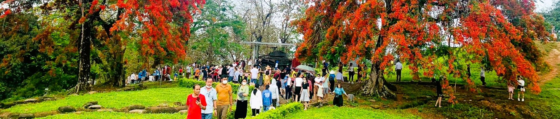
In the orientation for exploiting unused land, Điện Biên possesses many advantages to link land use with ecological and sustainable agricultural restructuring. Part of the unused area can be considered for forest planting, forest regeneration, or production forest development linked to the livelihoods of ethnic minorities. This not only increases forest cover, protects water sources, and mitigates natural disasters but also creates jobs and increases income, gradually shifting from natural exploitation to a high-value-added forestry economy.
.jpg)
For areas with more favorable topography and infrastructure, unused land can be integrated into planning for public works, transport, irrigation, renewable energy, or business production clusters suitable for the province’s development direction.
Effectively exploiting land resources is not just an economic puzzle but a matter of developmental governance. It requires synchronous coordination between levels and branches, between policy and implementation, and between immediate interests and long-term sustainability goals. The land inventory has provided a comprehensive “picture” of Điện Biên’s land status, in which the unused land fund must be recognized for its true role and potential.
If exploited reasonably and with focus, unused land will become an important resource for socio-economic development, improving lives, and strengthening security. Conversely, loose management or a lack of orientation will lead to waste and long-term consequences. Thus, effectively utilizing these funds is a strategic task to transform “empty land” into a sustainable development resource for Điện Biên province.
Thành Đạt
.jpg)
.jpg)
.jpg)
.jpg)
.jpg)
.jpg)
.jpg)
.jpg)
.jpg)
.jpg)
.jpg)
.jpg)
You have 500/500 characters left
Please enter 5 or more characters!!!