
Conquering Pú Tó Cọ is not merely a journey through nature but an opportunity to feel the strategic vision and the decisions that forged the historic Điện Biên Phủ victory.
Our knowledge of Pú Tó Cọ came from fragmented information and local stories about a special location deep within the Mường Phăng forest. Driven by a desire to understand history and the excitement of standing at the “eyes” of the campaign, we began our journey to this summit alongside monument managers and local residents who have long been attached to the forest.
.jpg)
The trek started in the morning mist, covering a distance of over 7km that was expected to take at least four hours. From the very first stretches, nature challenged the group with damp and slippery paths. The trail wound through an ancient forest of towering trees and vibrant green moss, filled only with the sound of our footsteps and dry leaves crunching underfoot. Lò Văn Hợp, a seasoned guide and native of Mường Phăng, noted that the path is rarely traveled, especially after rainy periods when vegetation grows thick.
Steep slopes soon followed the relatively flat paths, testing the stamina of those unaccustomed to mountain climbing. However, the forest provided small rewards, such as “vón vén” leaves with a distinct sour-sweet taste often used by locals for soup. These brief moments of rest fueled the group to continue toward the peak. Pú Tó Cọ is one of the highest peaks in the forest of Mường Phăng commune, where the Campaign Headquarters was established in 1954. Historical records indicate that from this vantage point, the command could oversee the entire Điện Biên valley and monitor the deployment of French fortifications. Hearing these stories amidst the actual mountain environment brought a profound emotional resonance that textbooks could not match.
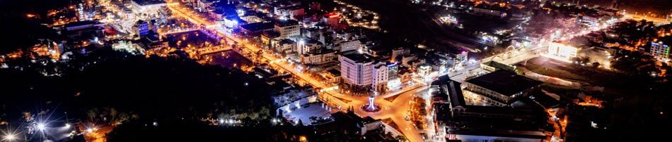
After four hours of persistent climbing, we reached the summit at an elevation of approximately 1,700m above sea level. The panoramic view of the Điện Biên basin was immediate and striking even without optical aids. The center of Điện Biên Phủ ward, Điện Biên Airport, the Mường Thanh fields, and the surrounding villages of neighboring communes were all clearly visible within our sight.
Lò Thị Thủy, a guide from the provincial Monument Management Board, explained that Chief of Staff Hoàng Văn Thái and his soldiers surveyed this area meticulously before moving the headquarters to Mường Phăng. From Pú Tó Cọ peak, the command monitored all three sub-sectors, 49 strongpoints, and eight clusters of French bases. A bamboo rattle was kept here to sound alarms for enemy aircraft or forest fires. It was from these “eyes” that General Võ Nguyên Giáp monitored every battlefield movement to make the precise decisions that led to the historic victory.
.jpg)
The journey served as a vivid history lesson for all involved. Phạm Thị Nguyệt, a teacher at the provincial Ethnic Boarding High School, noted that standing where the General once observed the battlefield connected textbook knowledge to reality in a visual and profound way. Seeing a student touch the summit marker highlighted a growing awareness among the younger generation regarding the sacrifices of their predecessors.
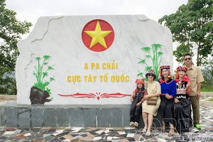
For a writer, this journey was more than an assignment. Watching the national flag fly amidst a sea of white clouds on the mountainside affirmed that Pú Tó Cọ is a “red address” of historical significance. Leaving the mountain in the late afternoon glow, we carried a deeper understanding of our heroic homeland. Over 70 years have passed, yet Pú Tó Cọ remains a silent milestone of Vietnamese intelligence and will, serving as a meaningful destination for anyone exploring Điện Biên.
Minh Trang
.jpg)
.jpg)
.jpg)
.jpg)
.jpg)
.jpg)
.jpg)


.jpg)
.jpg)

.jpg)
.jpg)
.jpg)
You have 500/500 characters left
Please enter 5 or more characters!!!