
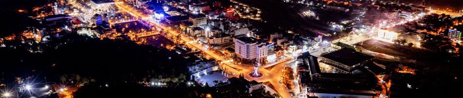

On the afternoon of May 16, a 5.0 magnitude earthquake struck Mường Chà district, causing panic and concern among the local population. The earthquake, with coordinates 21.747°N latitude and 103.129°E longitude, occurred at a depth of approximately 10 kilometers. Although the tremor lasted only a few seconds, the shaking was felt widely, affecting residents in Điện Biên Phủ city and surrounding districts like Điện Biên and Mường Ảng.
.jpg)
Lê Thị Phương Dung, from Residential Quarter No.8 in Mường Chà town, recalled the moment of the earthquake with anxiety: “I was working when I heard a loud noise, followed by the ground shaking. The furniture around me tilted, and bottles shook violently. The shaking only lasted a few seconds, but it was terrifying. I had never experienced anything like that before.”
Just a few hours later, at 14:16, another earthquake with a magnitude of 4.0 occurred in the same Mường Chà area. The occurrence of two earthquakes on the same day has raised concerns and curiosity within the community about the causes of this geological event. Many people are also worried about the potential for aftershocks.
Nguyễn Trung Nghĩa, a resident of Mường Chà town, expressed his concern: “After the earthquake, we were worried about the potential risks to homes, public structures, and technical infrastructure. With earthquakes of magnitude 5.0 or higher, if aftershocks or additional tremors occur, they could cause cracks in walls or collapse roofs of buildings that lack seismic resistance, especially old buildings or high-rise homes. It’s even more worrying when we can’t predict the time or magnitude of the next aftershocks.”
.jpg)
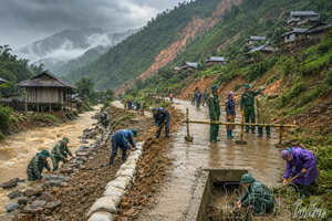
The two earthquakes have caused damage to several residential and public buildings. Preliminary statistics show that 8 homes in Mường Chà district were affected, and some infrastructure in the communes of Hừa Ngài, Na Sang, Huổi Lèng, and Pa Ham showed cracks, with estimated damages of about VND 1.8 billion.
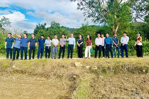
Hà Quốc Thịnh, Chairman of the Mường Chà district People’s Committee, stated: “Immediately after the earthquake, the Disaster Prevention and Search and Rescue Authority, in coordination with local authorities and related units, assessed the damage near the epicenter. We directed a response to evaluate the impact and manage the aftermath, including evacuating residents from the most vulnerable areas and providing medical care to those affected.”
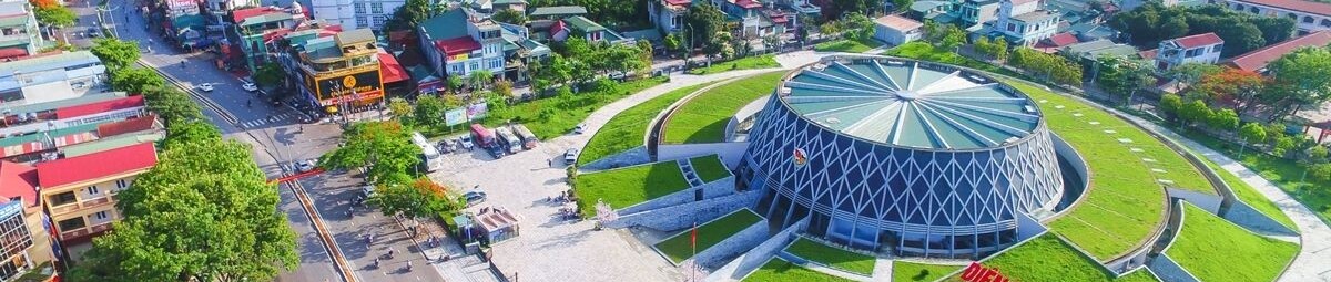
Over the past century, Điện Biên has experienced several large earthquakes with magnitudes ranging from moderate to strong. For example, in 1935, a 6.9 magnitude earthquake occurred in the Điện Biên basin, and another earthquake in 1983 in Tuần Giáo had a magnitude of 6.7. The most recent was in 2001, when Điện Biên Phủ city experienced a 5.3 magnitude earthquake, causing damage to many homes.
Regarding the causes of these earthquakes in the province, Nguyễn Thái Sơn, from the Earthquake Observation Station at the Institute of Geophysics in Điện Biên Phủ city, explained: “The earthquakes in the province are tectonic earthquakes, mainly caused by large, active fault zones in the region. Specifically, the Northwest region in general, and Điện Biên in particular, lies on two major fault zones: the Điện Biên - Lai Châu and Sông Mã - Sơn La faults. The Điện Biên - Lai Châu fault runs through the Điện Biên Basin and extends into Laos, while the Sông Mã - Sơn La fault passes through areas like Tuần Giáo and Điện Biên Đông. These fault lines regularly accumulate energy in the earth, and when that energy reaches a certain threshold, it is released in the form of an earthquake.”
.jpg)
Due to these reasons, Điện Biên experiences an average of 2 to 5 earthquakes every year that local population can feel. The earthquake that occurred on May 16 was a relatively large one. This highlights the urgent need to improve preparedness and response to natural disasters. In response to this situation, authorities are advising residents to remain calm, stay informed, and take proactive measures, such as strengthening buildings to seismic standards, preparing evacuation plans, and conducting earthquake response drills.
In the context of global climate change and the increasingly complex and unpredictable natural disasters, with a growing frequency of earthquakes, authorities are actively implementing measures to enhance early warning capabilities and assessing the safety of infrastructure in critical areas. This will help raise awareness and enable residents to adopt proactive measures to cope with potential earthquakes.
Phạm Quang
.jpg)
.jpg)
.jpg)
.jpg)

.jpg)
.jpg)
.jpg)
.jpg)
.jpg)

.png)
.jpg)

You have 500/500 characters left
Please enter 5 or more characters!!!